Hybrid Maps with satellite AND roads
1
votes
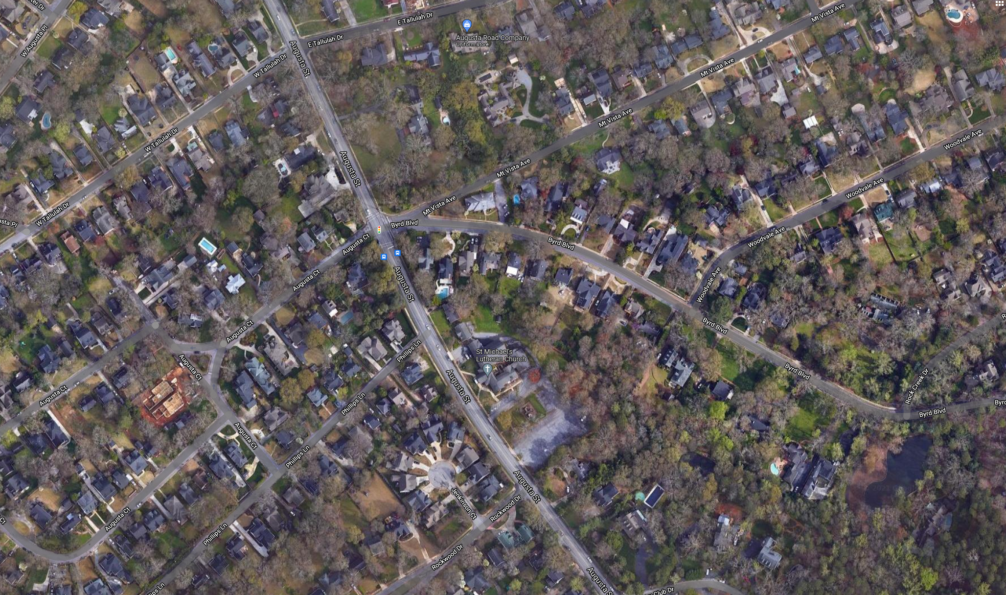
Allow maps to show both roads AND satellite images, instead of either/or. See image for an example. It would allow you to do an aerial survey of the neighborhood with streets as references.